Who we are
Built for builders
Drone technology is transforming how construction and real estate teams capture site data— delivering accurate measurements faster, more safely, and at lower cost than traditional ground crews. At VitaEdge, we fly certified, fully insured missions on active job sites and convert raw aerial footage into clear, actionable deliverables your team can rely on.
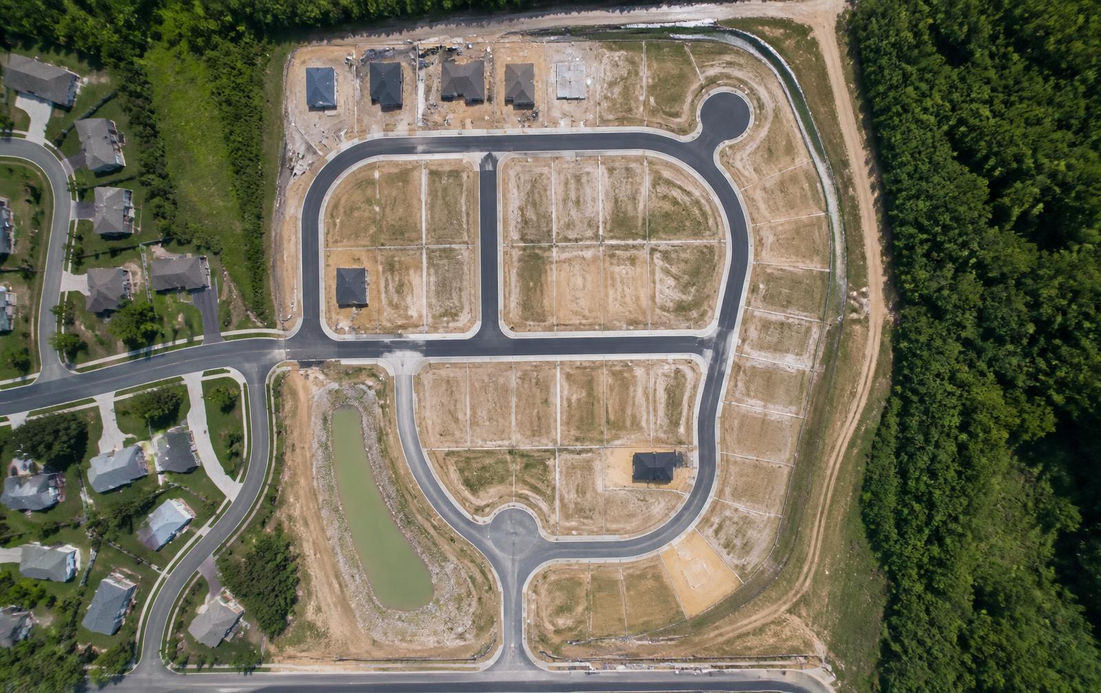
Land mapping
Orthomosaic maps of every lot, road and easement.
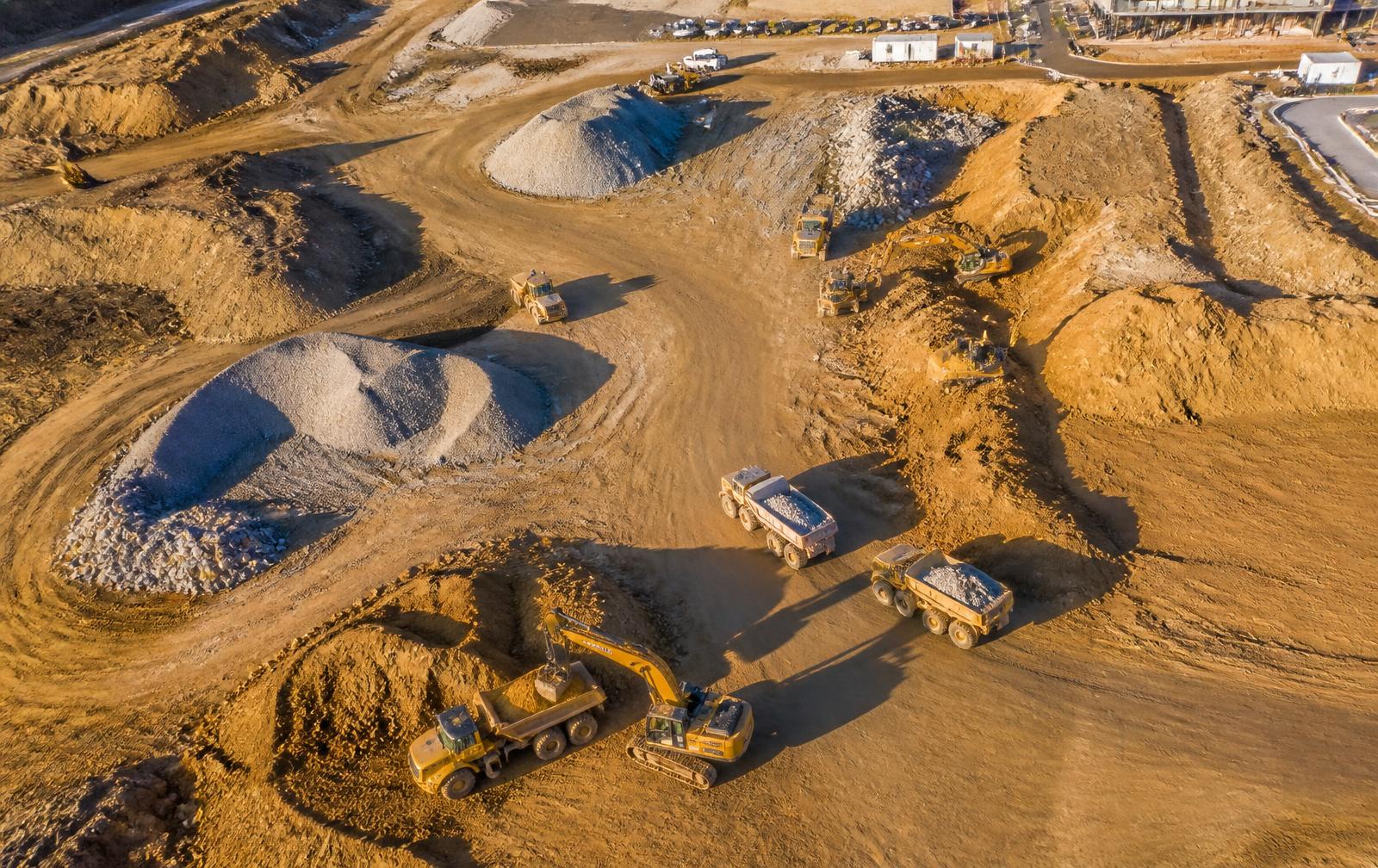
Volume calcs
Cut/fill, stockpile and grading measurements.
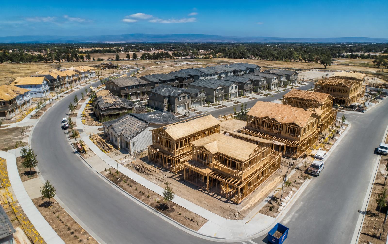
Progress imagery
Monthly captures for marketing and investor reports.
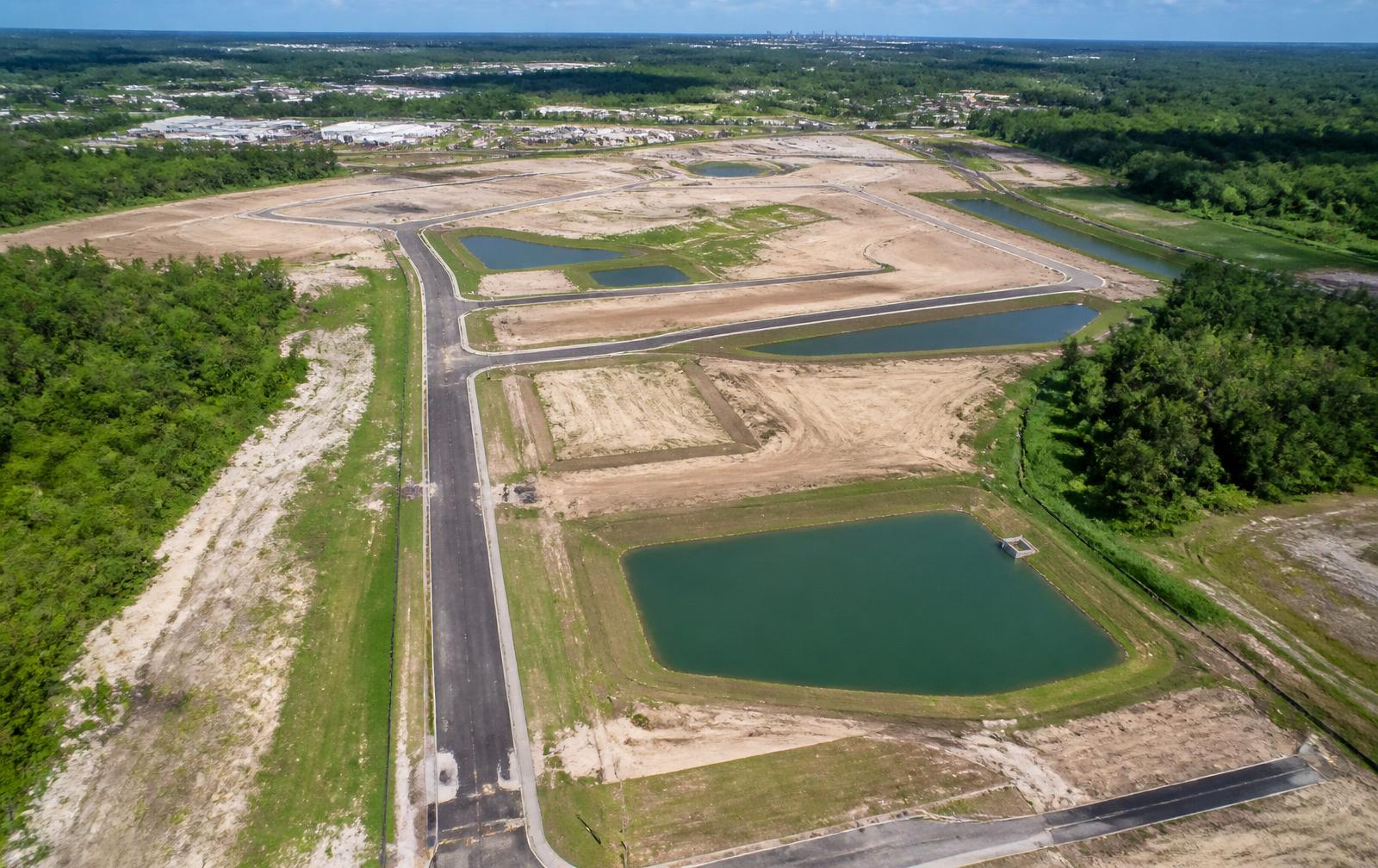
Site analysis
Topography, drainage and infrastructure review.
The bottom line
Drone services are no longer optional — they are a strategic investment that saves time, reduces cost, improves safety and wins more business.